tutorial · 2026-05-27
How to Add a Path, Road and Incline into a Landscape in Unreal Engine
Use the Directional tool from Landscape Stamp Tool to carve roads, crossings and graded inclines straight into UE5 terrain.

Why carving roads into terrain is harder than it looks
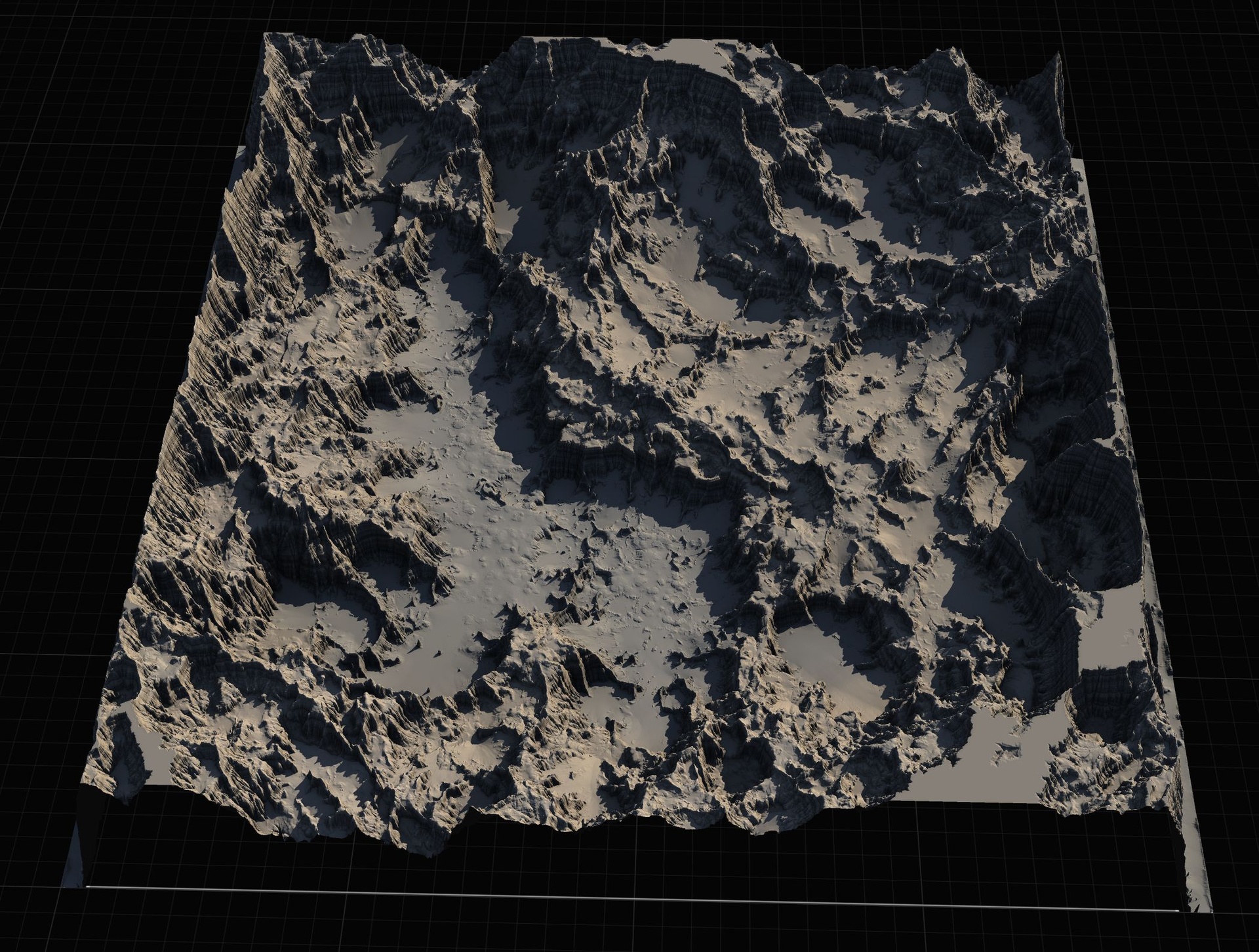
Sculpting a believable mountain by hand is one thing; cutting a level, drivable road across it is another. The moment you want a path that sits flat where vehicles travel, ramps cleanly up a slope, and meets other paths at a tidy junction, freehand sculpting falls apart. You end up nudging vertices for hours, the road surface wobbles, and the joins between segments never quite line up.
This is exactly the problem the Directional tool in Landscape Stamp Tool is built to solve. If you have been searching for how to add a path, road or incline into a landscape in Unreal Engine without writing any code, the workflow below uses pre-authored heightmap stamps to imprint the road shape directly into your terrain - so the surface is correct by construction rather than by patience.
Landscape Stamp Tool is a Blueprint-only terrain pack for Unreal Engine 5.6 to 5.7. You drag a tool blueprint into a World Partition level and it morphs the landscape underneath using heightmap textures, built on the engine's Landscape Patch system. The road-building piece is a single blueprint: BP_DirectionalTool.
What the Directional tool does
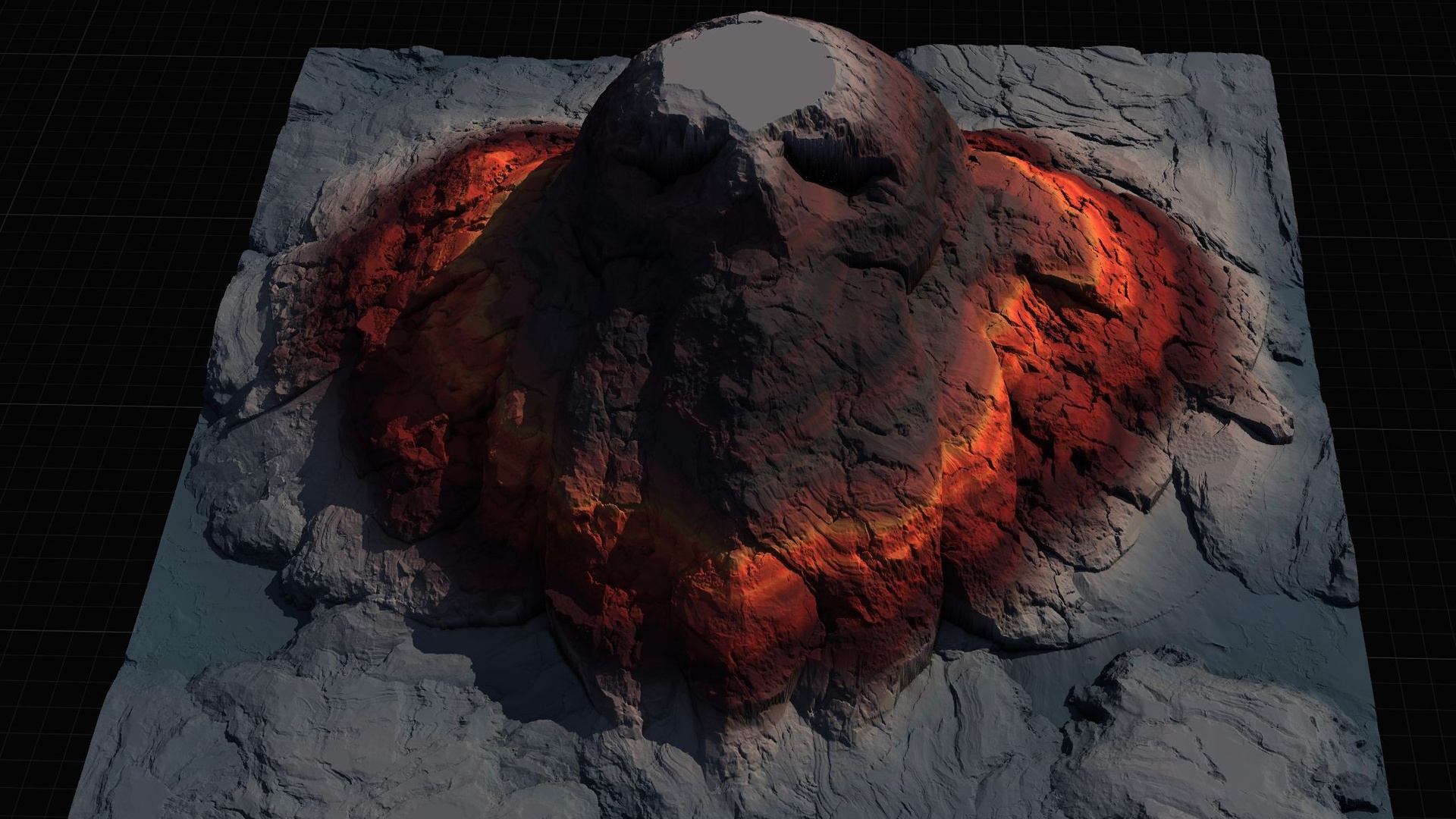
BP_DirectionalTool is one of seven geological stamp types in the pack (alongside Canyon, Crater, Hill, Mountain, River and Volcano), all derived from the shared BP_StampTool base. Where the others shape natural landforms, the Directional tool handles the man-made layer on top: paths, roads and crossings stamped flat or graded into whatever terrain you already have.
The shape it imprints is chosen through the E_DirectionalType enumeration, giving you a junction and ramp vocabulary covering three-way and four-way crossings, a cross-section, four dead-end orientations, a straight incline and a spiral incline. Because each is a heightmap stamp rather than a mesh, the path becomes part of the landscape geometry - you can still paint it, drive on it, and run physics across it like any other piece of terrain.
To start, drop a BP_DirectionalTool actor into your World Partition level near the landscape you want to cut into; it morphs the terrain beneath it on placement. Then open the actor's details panel and work through its exposed properties: the directional type, the texture size from E_TextureSizes (512, 1K, 2K or 4K), the stamp priority from E_StampPriority, and the falloff that controls how softly the road edges blend back into the surrounding ground.
Junctions, dead-ends and inclines
Most road networks are built by stamping junction pieces and connecting them. The E_DirectionalType options give you the parts you need: 'ThreeWayCross' for a T-junction or fork, 'FourWayCross' for a full crossroads, and 'CrossSection' for a clean intersection profile. Place these where roads meet, and use straight segments to span the runs between them.
1. Drag a BP_DirectionalTool actor into the level over the spot where you want a junction, then set its directional type in the details panel to 'FourWayCross' for a crossroads or 'ThreeWayCross' for a T-junction.
2. Set the texture size to suit the scale of the road - reach for 2K or 4K on a large World Partition tile where a 512 stamp would look soft, and a smaller size where you want a lighter footprint.
3. Use 'DeadEnd1' through 'DeadEnd4' to cap a road that stops - a car park, a cul-de-sac or a path that runs into a cliff. The four numbered variants let you orient the dead-end so its open mouth faces the direction your road approaches from.
4. For changes in elevation, choose 'Incline' to stamp a graded ramp that carries the road up or down a slope at a consistent gradient, or 'SpiralInline' - the 'SpiralIncline' type - to wind the road around itself where you need to gain a lot of height in a small footprint, such as a mountain switchback or a tower approach.
5. Set the stamp priority from E_StampPriority so the road reads correctly where it overlaps natural landforms. A higher priority wins the overlap, letting a road cut decisively across a hill stamp instead of being swallowed by it.
Blending the road into the rest of your terrain
The Directional tool is at its best when it works with the other stamps rather than in isolation. Because every tool in the pack is blendable and shares the same priority and falloff model, you can rough out the landform first - a Mountain or Hill stamp - then lay an Incline or junction over it and let the falloff feather the road edges into the slope. Stack and re-tune the stamps until the network sits naturally in the world.
If you need to imprint a road shape the pack does not ship, the same project includes BP_CustomStampTool and BP_CustomStamp, which let you bring in your own heightmap and stamp it exactly like the built-in directional pieces. That is the escape hatch for bespoke junctions or a road profile specific to your vehicle.
When you want to go further than the Blueprint workflow allows, Landstamp Pro is the C++ sibling of this tool. It carries a Directional stamp category of its own inside a much larger non-destructive library, with a Stamp Browser, blend modes and mesh-to-heightmap extraction. If you are starting from heightmaps rather than stamps, the Massive Open World Landscape Pack and the Mythic Relic Landscape Pack both ship ready-made terrains you can import and then cut roads into with the Directional tool. Open L_Demo.umap in the project to see every stamp type, including the directional one, working together as a reference.
E_DirectionalType options at a glance
| Directional type | Use it for |
|---|---|
| ThreeWayCross | A T-junction or three-way fork where roads meet |
| FourWayCross | A full crossroads / four-way intersection |
| CrossSection | A clean intersection cross-section profile |
| DeadEnd1 - DeadEnd4 | Capping a road that stops, oriented four ways |
| Incline | A graded straight ramp up or down a slope |
| SpiralIncline | Winding a road upward in a tight footprint (switchback) |
The road and ramp shapes BP_DirectionalTool can stamp into a landscape.
FAQ
How do I add a path or road into a landscape in Unreal Engine without C++?
Drag a BP_DirectionalTool actor from Landscape Stamp Tool into your World Partition level over the terrain you want to cut into. It morphs the landscape beneath it on placement using a heightmap stamp. Then pick the road shape via the E_DirectionalType property and tune the texture size, priority and falloff in the details panel. It is entirely Blueprint - no code required.
Can I create crossroads and T-junctions?
Yes. Set the directional type to 'FourWayCross' for a full crossroads, 'ThreeWayCross' for a T-junction or fork, and 'CrossSection' for an intersection cross-section. Place junction pieces where roads meet and connect them with straight segments.
How do I make a road climb a hill or go up a level?
Use the 'Incline' directional type for a straight graded ramp, or 'SpiralIncline' to wind the road around itself when you need to gain a lot of height in a small footprint, like a mountain switchback. Set a higher E_StampPriority so the road cuts cleanly across any landform stamp it overlaps.
What if I need a road shape the pack doesn't include?
The project ships BP_CustomStampTool and BP_CustomStamp, which let you import your own heightmap and stamp it exactly like the built-in directional pieces. That covers bespoke junctions or a road profile specific to your vehicle.
Which Unreal Engine versions does Landscape Stamp Tool support?
It targets Unreal Engine 5.6 to 5.7, shipped as a separate project per version, and is built for World Partition. It is a Windows, Blueprint-only pack and enables the engine's Landscape Patch and Water plugins.
Landscape Stamp Tool
Sculpt terrain by dragging blueprint tools into a World Partition level — seven geological stamp types (mountains, canyons, rivers, volcanoes and more) that blend together to morph the landscape in place. 8 tool blueprints, no code.